Transport is an experience This page is revised on the 10 June 1999
The Bedouin's previous and present means of transportation reflects very well the
changes which have taken place in Oman during the last 25-30 years.
As in any other country the transportation plays an important role in the society.
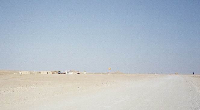
Until recently (which is not more than 25-30 years ago in Oman) was transportation done by
camel, foot or donkey. Today it is almost all over the country done by motor vehicles. The
sultan has ordered that all villages must be connected to the rest of the society by road
(and by electricity). All villages! And so is it done.
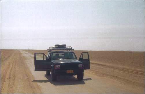
The advantage for us modern people is that is gives us plenty of possibilities to discover
the country by sometimes strange roads or tracks:
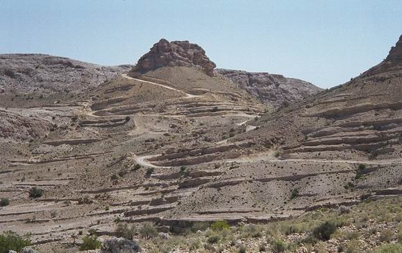
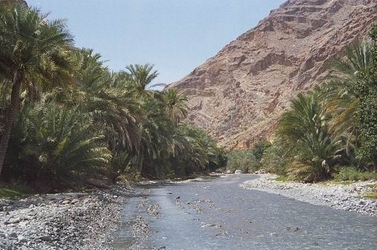
In the bottom of this wadi (the valley) you can see a track leading up to the little
village Hat, 5 km further up that track. The track I am on is continuing up to the
relatively big village Bilat Sayt.
Oops - we better stop here!
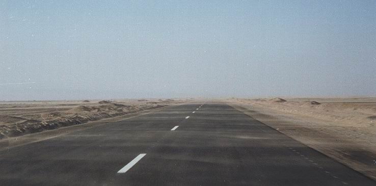
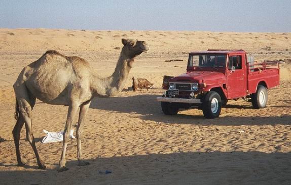
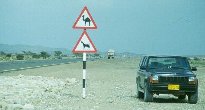
There are also super high speed hard top roads. But be careful and watch out for
camels. They have the same colour as the sand - and it has same effect to drive into a
camel as trying to drive in underneath a truck.
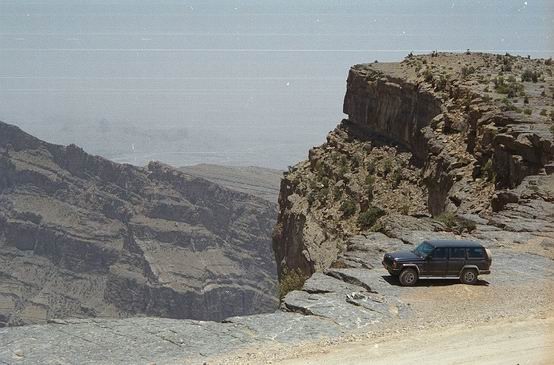
Some times there are some very steep descending in the desert. Even Malik went pale
as we drew over the edge and found ourselves on the way down.
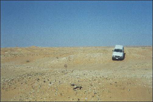
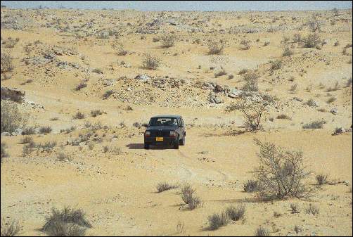
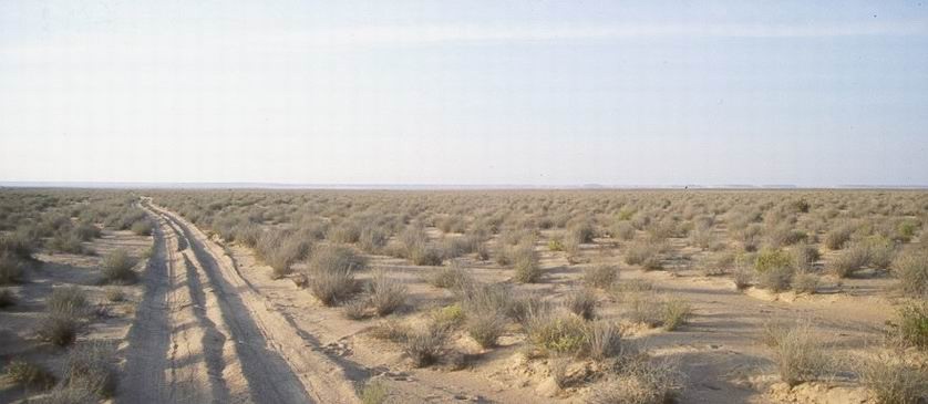
Or suddenly you find yourself surrounded by thousands of small hills of gravel and sand,
combined with rock sharp as a razorblade.
Straight forward to the horizon, James!
Or like here, where it goes over huge saltplains to the big dunes in the Empty Quarter
(see: Desert).
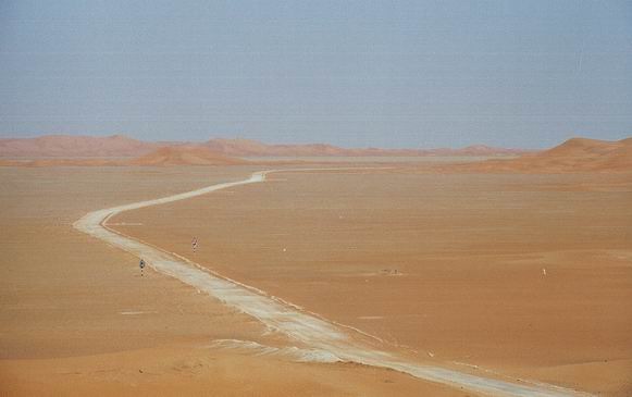
50 km straight ahead and horizontal. No problem!
Winding roads.
Lonesome roads.
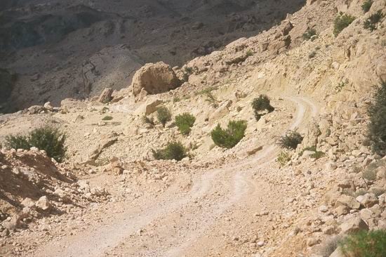
Precipitous tracks leading dooooooooown.............
(it is the bottom of the valley the dark area in top of the picture).
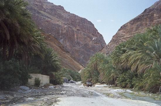
Roads leading through gorges surrounded by datepalm plantations.
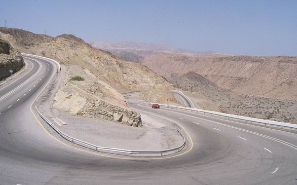
Road constructions in best Swiss style.
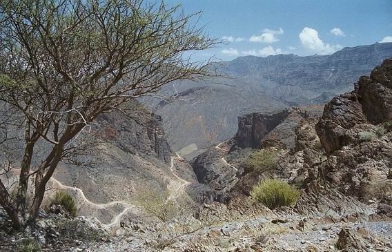
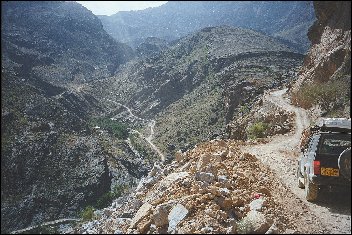
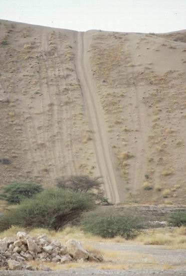
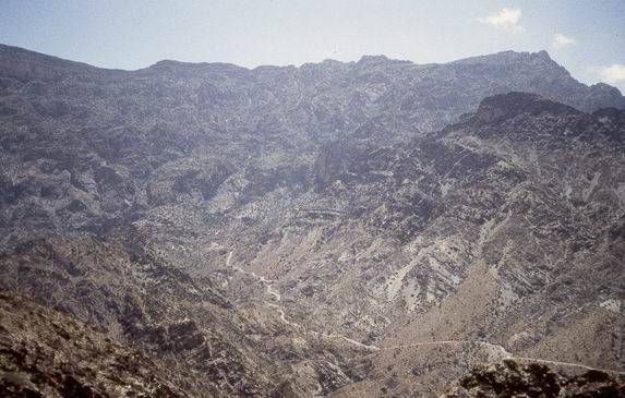
Other road constructions beyond what I have seen anywhere else. The light stripes on
each side of the gorge (Snake Canyon) in the centre of the
photo are a road leading up to the relatively big village Bilat
Sayt. Most dramatic. But, it is in these places one can get a surprise which can cost
your life. Because of changes in the weather. These tracks or roads are actually not bad
as long as it is not raining. But when it starts raining it can be most critical. One and
a half (1˝) hour after the picture above was taken the picture below was taken. The
clouds exploded to extremely heavy rain within this time span. I thought I knew something
about fast changes in the weather from the Alps. But I didn't!
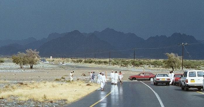
Black, black sky and very heavy thunderstorms. Then the wadi start being flooded
(with water, mud and stones) with enormous power. The brown muddy thing above is a wadi
with plenty of water. Only 1˝ hour after clear blur sky.
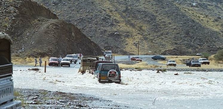
The big heavy cars try to cross without getting caught by the stream. (We did come over).
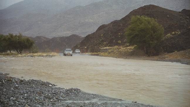
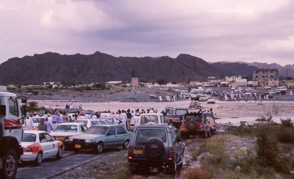
Sometimes I do not understand the life around a flooded wadi. Everybody tries to drive
as far down to the wadi as possible. From both sides. It seams that nobody considers that
there actually is a good reason why the other cars are not driving forward. But no,
everybody must pile up. Therefore it is normally not the water which cause the biggest
problems, but to untie the knot. The water might run for 2 hours, and the untying takes
6-8 hours.
A standard saloon car can have its problems crossing the water.
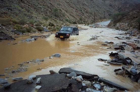
For us with big cars it is normally easier.
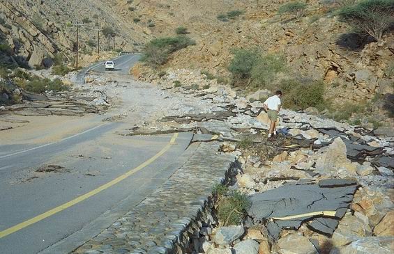
Until I saw it the first time I thought: Dear me! It can not be that bad.
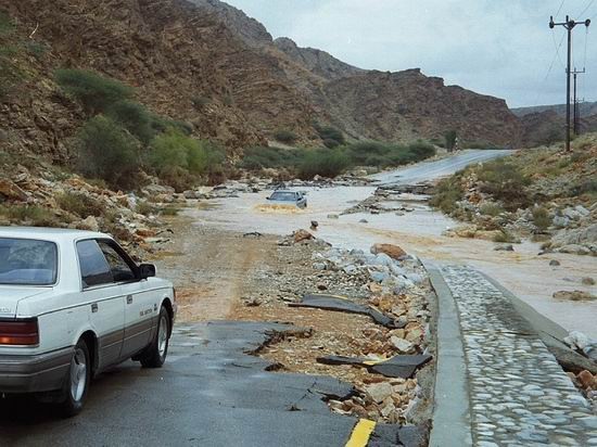
But it is. Roads are taken apart completely. We found big plates of asphalt 50-100 metres
further down the wadi. It was a nice and new road..
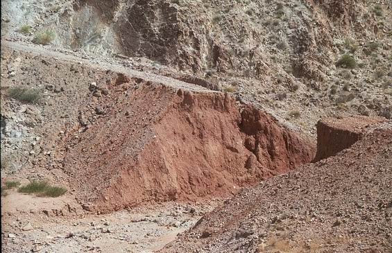
And this track misses some metres......
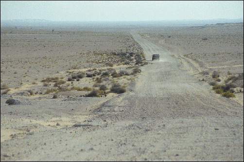
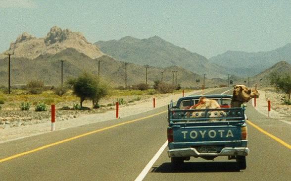
The roads are used in the same manner as in other countries, for transportation of
goods and others......
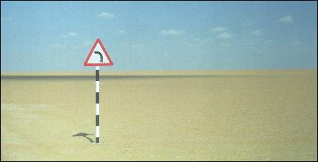
Warnings:
The local school bus:

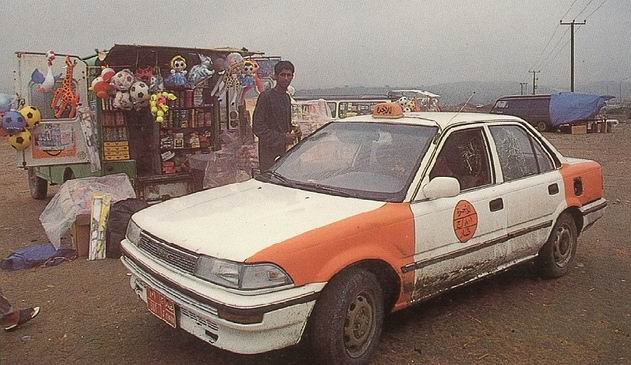
A local taxi:
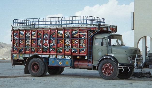
Colourful trucks can still be seen, but they are quickly replaced by modern Volvos and
Scandias.
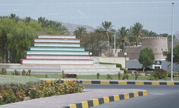
The roads are decorated. This it The Book Roundabout in Nizwa:
Petrol is needed after all this driving (or maybe better before). I wonder if Shell
Main Office knows the existence of this petrol station: